Weather
The Pine Tree, News for Calaveras County and Beyond Weather
Amador Angels Camp Arnold Bear Valley Copperopolis Murphys San Andreas Valley Springs Moke Hill/West Point Tuolumne
News
Business Directory
Weather & Roads
Sports
Real Estate
Search
Weekly & Grocery Ads
Entertainment
Life & Style
Government
Law Enforcement
Business
Wine News
Health & Fitness
Home & Garden
Food & Dining
Religion & Faith
Frogtown USA
Calendar
Polls
Columns
Free Classifieds
Letters to the Editor
Obituaries
About Us

Coming Soon...
Tuesday, Jun 6
06:00 PM The Bistro Espresso Summer Concert Series! Live Music at Taco Tuesdays & Peddlers Fair Saturdays!
Thursday, Jun 8
All Day Road Closure – Tree Work El Dorado Drive, Arnold 6/8/23 - 7:00 AM to 5:30 PM
05:00 PM The Watering Hole 2023 Summer Concert & Brewery Schedule
06:00 PM West Point Area Emergency Preparedness Meeting on June 8th
06:00 PM Wino Bingo Night at The Game Room
Saturday, Jun 10
06:00 PM The Bistro Espresso Summer Concert Series! Live Music at Taco Tuesdays & Peddlers Fair Saturdays!
06:30 PM "The Shakesperience" One Cast, Two Plays, Four Nights Only
07:00 PM Saturday Night Live Music!
Sunday, Jun 11
All Day Our Sunday Edition with Local Features, Local Specials & More Every Sunday All Day Long!
Tuesday, Jun 13
06:00 PM The Bistro Espresso Summer Concert Series! Live Music at Taco Tuesdays & Peddlers Fair Saturdays!
Wednesday, Jun 14
06:30 PM The Calaveras Arts Council's Music in the Parks 2023
Thursday, Jun 15
11:00 AM Mark Twain Medical Center Hiring Event!
05:00 PM The Watering Hole 2023 Summer Concert & Brewery Schedule
Friday, Jun 16
06:00 PM Marisolio Presents Hawaiian Pupus Small Bites Cooking Class on June 16th!
Saturday, Jun 17
06:00 PM The Bistro Espresso Summer Concert Series! Live Music at Taco Tuesdays & Peddlers Fair Saturdays!
06:30 PM "The Shakesperience" One Cast, Two Plays, Four Nights Only
07:00 PM Saturday Night Live Music!
Sunday, Jun 18
All Day Our Sunday Edition with Local Features, Local Specials & More Every Sunday All Day Long!

Log In
Username

Password

Remember Me


Posted by: thepinetree on 03/11/2023 02:03 PM Updated by: thepinetree on 03/11/2023 02:03 PM
Expires: 01/01/2028 12:00 AM
:

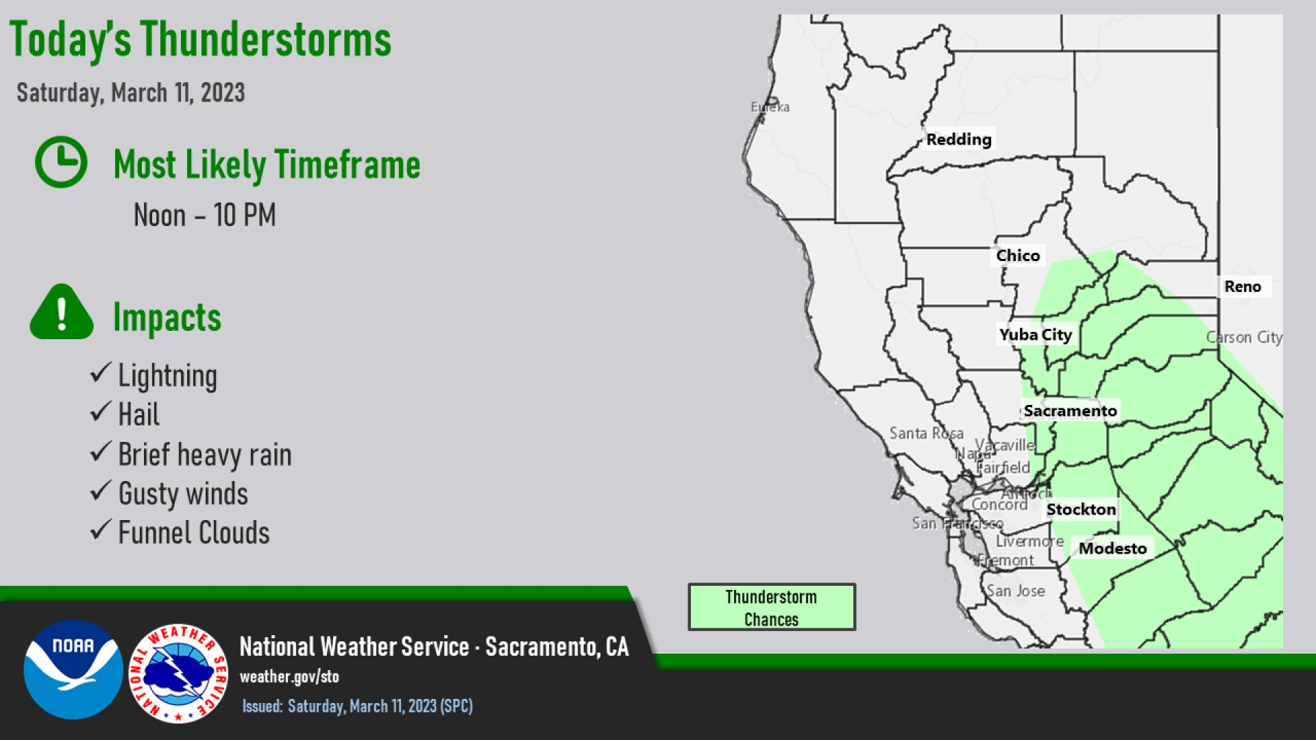
Severe Thunderstorm Warning, Storm over Milton at 1:45pm Moving East at 30 mph.

Arnold, CA...The National Weather Service in Sacramento has issued a Severe Thunderstorm Warning for West central Tuolumne County in northern California, East central San Joaquin County in central California, Northern Stanislaus County in central California & Southwestern Calaveras County in northern California Until 245 PM PST. At 145 PM PST, a severe thunderstorm was located over Milton, or 12 miles southwest of San Andreas, moving east at 30 mph.


Severe Thunderstorm Warning
CAC009-077-099-109-112245-
/O.NEW.KSTO.SV.W.0009.230311T2146Z-230311T2245Z/

BULLETIN - IMMEDIATE BROADCAST REQUESTED
Severe Thunderstorm Warning
National Weather Service Sacramento CA
146 PM PST Sat Mar 11 2023

The National Weather Service in Sacramento has issued a

* Severe Thunderstorm Warning for...
West central Tuolumne County in northern California...
East central San Joaquin County in central California...
Northern Stanislaus County in central California...
Southwestern Calaveras County in northern California...

* Until 245 PM PST.

* At 145 PM PST, a severe thunderstorm was located over Milton, or 12
miles southwest of San Andreas, moving east at 30 mph.

HAZARD...Quarter size hail.

SOURCE...The public has reported quarter size hail in Stockton.

IMPACT...Damage to vehicles is expected.

* Locations impacted include...
Sonora, San Andreas, Carson Hill, Tuttletown, Vallecito, Copper
Cove Village, Springfield, Telegraph City, Angels City, Milton,
Avery, Hodson, Forest Meadows, Copperopolis, Mountain Ranch, Rancho
Calaveras, Angels Camp, Tuolumne City, Murphys and Phoenix
Lake-Cedar.

PRECAUTIONARY/PREPAREDNESS ACTIONS...

For your protection move to an interior room on the lowest floor of a
building.

This storm has a history of producing large hail. SEEK SHELTER NOW
inside a sturdy structure and stay away from windows!

Torrential rainfall is occurring with this storm, and may lead to
flash flooding. Do not drive your vehicle through flooded roadways.

&&

LAT...LON 3792 12093 3807 12098 3830 12035 3793 12023
TIME...MOT...LOC 2145Z 257DEG 26KT 3804 12080

HAIL THREAT...OBSERVED
MAX HAIL SIZE...1.00 IN
WIND THREAT...RADAR INDICATED
MAX WIND GUST...<50 MPH

$$

EK


Comments - Make a comment
The comments are owned by the poster. We are not responsible for its content. We value free speech but remember this is a public forum and we hope that people would use common sense and decency. If you see an offensive comment please email us at news@thepinetree.net

What's Related
These might interest you as well
Photo Albums

Calendar

phpws Business Directory

Local News

Web Pages


Mark Twain Medical Center
Meadowmont Pharmacy
Angels & San Andreas Memorial Chapels
Bear Valley Real Estate
Gerard Insurance
Bank of Stockton
Fox Security
Bistro Espresso
Chatom Winery
Middleton's Furniture
Bear Valley Mountain Resort
Cave, Mine & Zip Lines
High Country Spa & Stove
Ebbetts Pass Scenic Byway
Sierra Logging Museum Calaveras Mentoriing
Jenny's Kitchen

Copyright © The Pine Tree 2005-2022